
Background
IN1203 | |
Sermilik Research Station | |
Sub-Arctic | |
Open | |
Station | |
Greenland | |
Station | |
1970 | |
May; June; July; August; September |
Introduction
The Sermilik Research Station is operated by the Department of Geosciences and Natural Resource Management, University of Copenhagen. The station is owned by the Faculty of Science, University of Copenhagen. | |
The station is located at 65°40.85 N and 37°55.0’ W in southeast Greenland, about 20 km north of the small town Tasiilaq (old name: Ammassalik). The station is situated on the shore of the Sermilik Fjord on the west side of Ammassalik Island adjacent to the Mittivakkat Glacier, a local small ice cap. | |
The research area is situated in the low arctic coastal vegetation zone, and demonstrates a large flora diversity. It is dominated by dwarf-shrub heaths, snow-bed communities, and open fell-field communities. Fens, herb slopes, and copses are present but are only found in smaller niches in the alpine dominated landscape. | |
During an expedition in 1933, led by the famous polar researcher Knud Rasmussen, the first surveys of glaciers and geomorphology were carried out on Ammassalik Island and at the Mittivakkat Glacier. In 1970 a permanent field station, the Sermilik Research Station, was established, to provide a logistic base for the ongoing glaciological, hydrological, and geomorphological investigations of the Mittivakkat Glacier and its catchment. In 1993, an automatic meteorological station was established at a nunatak situated close to the equilibrium line of the Mittivakkat Glacier to study the glacier climate (515 m a.s.l.). In 1997, a second meteorological station was established, to study the climate in the coastal region. A third meterological station was established at about 200 m a.s.l. in 2009, comprising data on short wave incoming radiation, temperature, relative humidity, wind (direction and speed), and precipitation. The main building of the station is an insulated wooden house of 60 m2 | |
The station supports a year-round monitoring programme covering basic climatology and local climate gradients in the Mittivakkat Glacier drainage basin glacier mass balance, run-off and sediment transport, and the development of coastal and delta geomorphology. Data are available on request from the three climate stations and a hydrometric station. Glacier mass-balance measurements and glacier surveys have been carried out since the mid 1980s and delta surveys regularly since 1989. Some maps, a digital 3D terrain model, satellite data, and aerial photographs are available on request. | |
More than half of the population of East Greenland (c. 3000 inhabitants) live in the town Tasiilaq (c. 2000 inhabitants) which is located 20 km south of the research station. Even though the traditional Inuit culture still plays a major role in daily life, Tasiilaq is also a modern community. Fishing, hunting, service industries, and tourism are the major businesses in the town. The Ammassalik Island and the valleys behind the town have a unique flora and are popular places for hiking. | |
The Sermilik Research Station can be reached by commercial air carrier via Island to Kulusuk Airport followed by a helicopter flight to Tasiilaq. From Tasiilaq to the station, a boat, a helicopter charter or snow mobiles are recommended depending on the weather, snow, or ice conditions, and the amount of luggage/cargo. It is also possible to reach the station after a 15-20 km hike. It is recommended to book air tickets well in advance and to plan two travel days to reach Sermilik Station from Europe. |
Operator
Department of Geosciences and Natural Ressource Management, University of Copenhagen, Denmark | |
Government | |
University of Copenhagen, Denmark | |
Department for Geosciences and Natural Resource Management, University of Copenhagen, Denmark |
Data Source
Partner Institution
No |
Location
IN1203 | |
65° 40' 51.12'' N | |
37° 54' 57.87'' W | |
North America Arctic | |
15 | |
0 | |
937 | |
20 | |
20 | |
20 | |
0 | |
Ice-free ground |
Climate
Discontinuous | |
High Arctic | |
Snow and Rain | |
984 | |
N | |
-1.7 | |
-7.5 | |
6.4 | |
May; June | |
May; June | |
May; June | |
July; August |
Features
Biological features; Bird colonies; Blue ice; Coast; Crevasse; Fauna; Fjord; High elevation; Hill; Ice cap or glacier; Lake; Low artificial light pollution; Melt streams; Moraine; Mountain; Nunatak; Permanent snowpatches; Plateau; Rivers; Rock; Sea; Sea ice; Shoreline; Snow; Valley; Other | |
Shrub tundra |
Disciplines
Climatology; Climate change; Environmental sciences; Fishery; Geocryology; Geodesy; Geology; Geomorphology; Geophysics and seismology; GIS; Glaciology; Hydrology; Isotopic chemistry; Limnology; Mapping; Marine biology; Microbiology; Oceanography; Paleoecology; Paleolimnology; Pollution; Sedimentology; Soil science; Terrestrial biology |
Human Activities
Yes | |
Yes | |
Yes | |
Yes | |
Yes |
Infrastructure
IN1203 | |
100 | |
0 | |
0 | |
30 | |
8 | |
No | |
No | |
Fossil fuel; Renewable | |
220 | |
24 | |
No |
Staff Capacity
2 | |
0 | |
0 | |
0 | |
3 | |
0 |
Scientific Equipment
Climate stations | |
Data base | |
Climate stations (see Introduction) |
Medical Facilities
No | |
0 | |
0 | |
20 | |
0 | |
0 | |
0 | |
20 | |
Riffle | |
No | |
No |
Vehicles
Small rubber boat |
Workshop facilities
ICTS (Staff available to assit with constructions) |
Communications
Satellite phone; VHF |
Access
IN1203 | |
Air; Land; Sea |
Aircraft landing facilities
0 | |
0 | |
0 | |
* | |
Yes |
Transport and freight
Helicopter; Ski; Walking; Other | |
Snow mobile | |
0 | |
Natural coast | |
0 |
Access To The Facility
Yes | |
Yes | |
Verner Brandbyge Ernstsen | |
vbe@ign.ku.dk |
Pictures
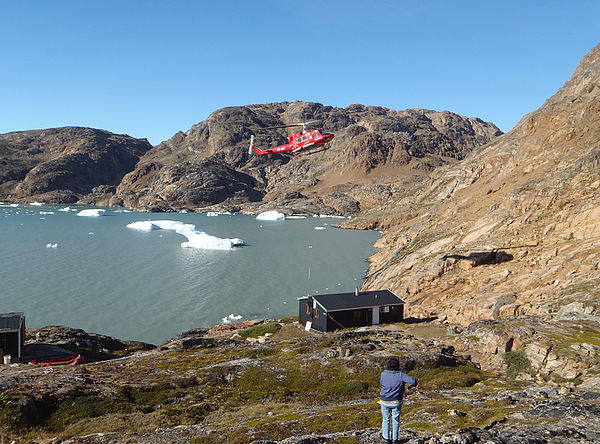 Sermilik_Station in summer (Credits: Lea Hansen) |
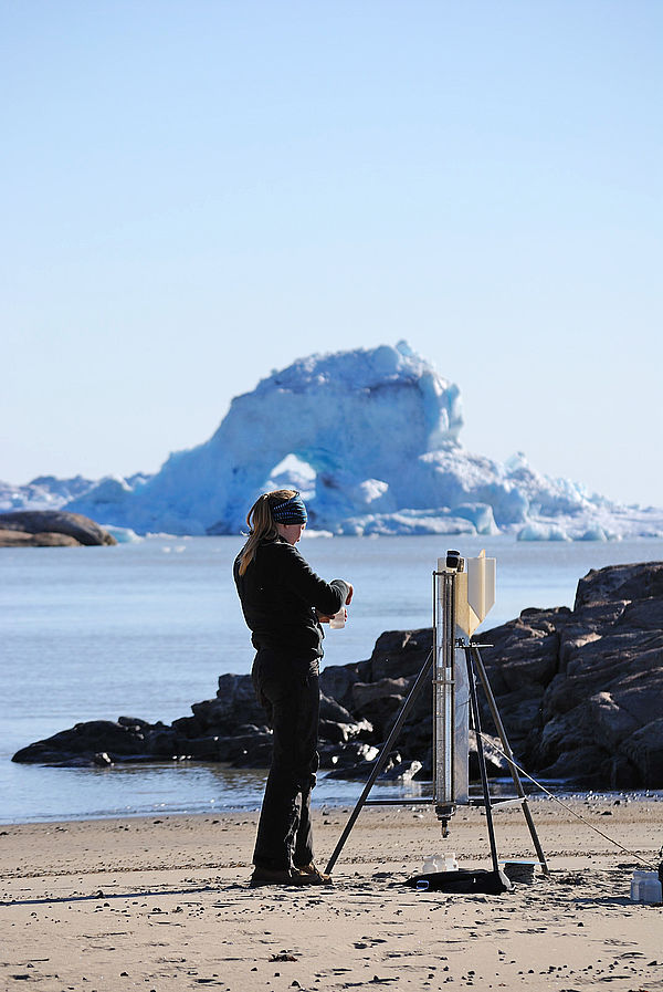 Field work sedimentation (Credits: Lea Hansen) |
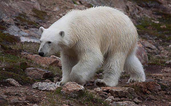 Polar bear (Credits: Yoann Drocourt) |
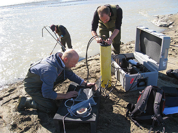 Field work at River (Credits: Lea Hansen) |
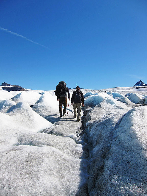 Sermilik Glacier (Credits: Lea Hansen) |
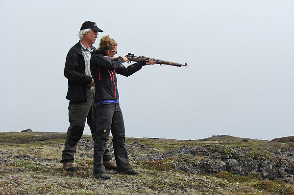 Safety training - riffle (Credits: Lea Hansen) |
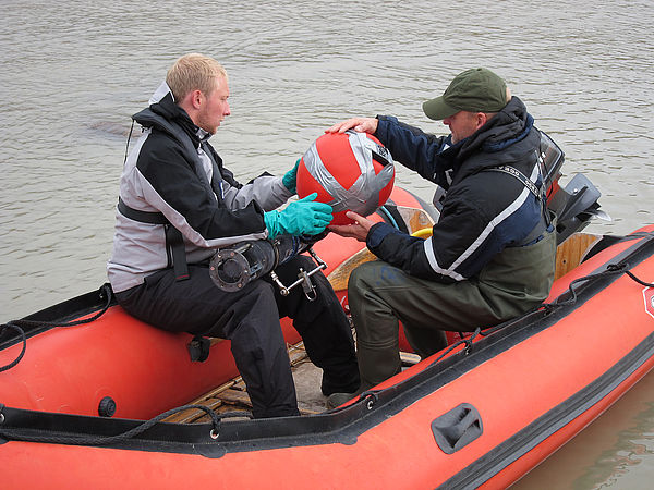 Small boat (Credits: Lea Hansen) |